Atlas Roofing and Solar
Drone Aerial Survey [ Residential ]
Drone Aerial Survey [ Residential ]
Regular price
$300.00 USD
Regular price
Sale price
$300.00 USD
Unit price
per
Couldn't load pickup availability
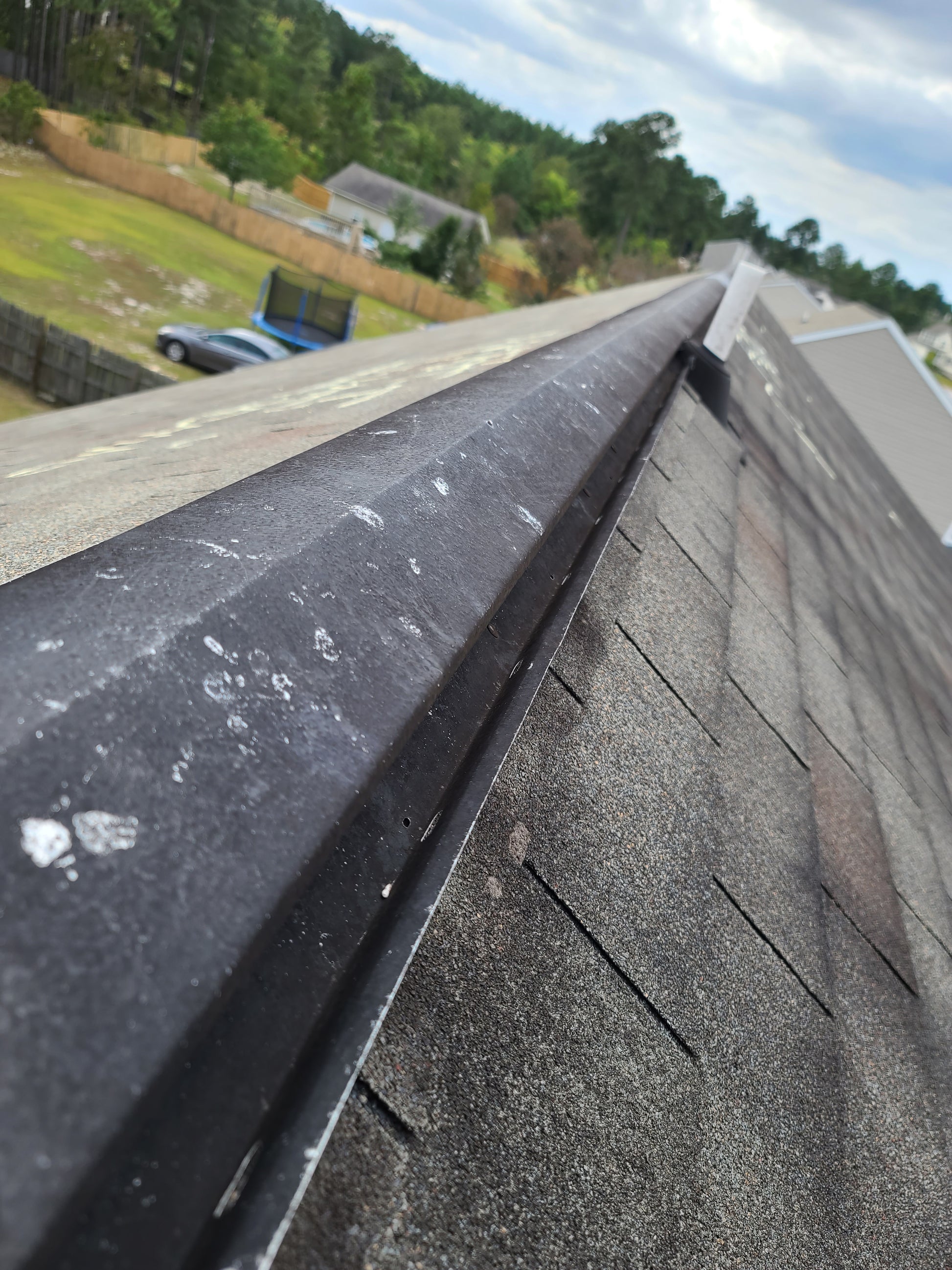
A FAA licensed drone pilot will conduct an aerial survey of your home, utilizing the powerful DJI Mavik 2 Pro. The Mavic 2 Pro commands a powerful 1-inch CMOS sensor, offering stunning 20-megapixel aerial photos with extreme detail. Designed by Hasselblad in collaboration with DJI, the L1D-20c camera houses an adjustable-aperture lens, providing more control over your lighting environment. These high resolution images are then regressed using a proprietary artificial intelligence algorithm to identify and label damage. This A.I compares damage to millions of of other known data points to efficiently and accurately diagram roof damage.
![Drone Aerial Survey [ Residential ]](http://atlasroofingandsolar.com/cdn/shop/products/20200924_153553.jpg?v=1652226530&width=1445)
-
Touch-Free
In cases where liability has not been established or admitted; it can be very helpful to boast that you conducted a 'hands-free' inspection, and currect conditions are as they were.
-
Recieve a .PDF to store for your records
This gives the customer access to this information indefinitely, in a format easily opened and shared.

